-
Learn

- Places
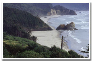
Arcadia Beach Rocky Shore
|
||||||||||||||||||||||||||||
About the Arcadia Beach Rocky Shore Area
Data for the Arcadia Beach Rocky Shore
[0 Records Listed]
[0 Records Listed] Information compiled by Laurel Hillmann, NOAA Coastal Management Fellow, OPRD |
||||||||||||||||||||||||||||